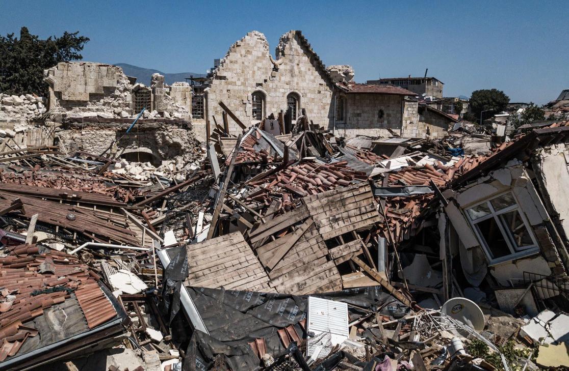
Due to a series of large-scale earthquakes that Türkiye has experienced in recent years and their major impact on the fault lines, the country's fault map could be updated in the five years at the earliest, a geoscientist has said.
Türkiye’s General Directorate of Mineral Research and Exploration recently revised the country’s fault map, increasing the number of active fault segments with the potential to generate earthquakes ranging from 5.5 to 7.9 in magnitude from 150 to 485.
On the other hand, academic Hasan Sözbilir from İzmir’s Dokuz Eylül University asserted that this increase was not due to the discovery of new faults but rather the inclusion of those already recognized in the scientific community but previously omitted from the map.
Stating that significant seismic events, notably the Feb.6 Kahramanmaraş earthquakes and the 6.6 magnitude İzmir earthquake in 2020, brought about substantial alterations in the count of faults and fractures, Sözbilir noted that consequently, a comprehensive examination and identification of the exact changes induced by these major earthquakes should be conducted.
In the light of these findings, the updating of the fault map will be completed between 2028 and 2030.
"The updating of Türkiye’s active fault map relies on evaluating the scientific advancements of the past decade and incorporating them into these maps. This endeavor not only demands a substantial budget but also requires a minimum of four to five years of research," Sözbilir stated.
"Updating Türkiye’s active fault map can only be accomplished between 2028 and 2030. Upon its completion, the total number of active faults on both land and beneath the sea will exceed 600 at the national level," he added.
Another expert Süleyman Pampal also dismissed the media's portrayal of "the number of fault lines in Türkiye increasing from 100 to 500," contending that such statements provided incomplete information. He emphasized that these faults were not newly discovered after recent earthquakes but rather faults that had been identified in previous years but were not included in the map.