In a bid to better manage Türkiye’s water resources, the Agriculture and Forestry Ministry has initiated a project to create digital atlases mapping a total of 270 stagnant water bodies, including dams and artificial ponds currently being constructed.
These water resources will be digitized in a geographic information system (GIS) center.
“Drinking water basin and sub-basin boundaries will be updated within the scope of the project,” Minister İbrahim Yumaklı said, noting that Beyşehir Lake has been chosen as a pilot area where a field study has been launched.
“Around 70 stagnant water sources, river branches feeding the water sources and the boundaries of basins will be digitized with hydrological analyses with the geographic information system.”
The minister highlighted that the atlases will be printed in 100 copies, numbered between 1923-2023, commemorating the 100th anniversary of Türkiye's foundation.
“The change of water resources from past to present, along with cultural and historical information, will be revealed in order to be passed on to future generations in the atlases.”
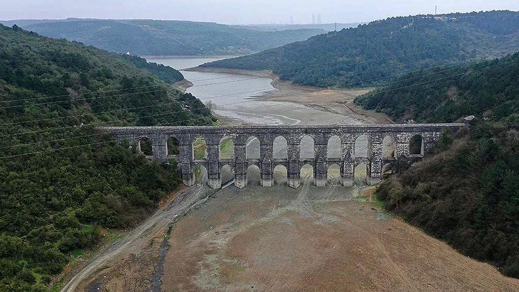
Excessive water consumption in Istanbul
Meanwhile, Istanbul water management body İSKİ head Şafak Basa warned about the excessive daily water consumption in Istanbul, calling on everyone to practice water-saving activities.
Basa stressed that the average water level in the dams in Istanbul is over 75 percent, which exceeds the average of the last 10 years. However, Basa also cautioned about the potential risk of water scarcity, noting that consumption levels reached record highs this month.
Basa called on every citizen to use water sparingly regardless of dam occupancy rates, stating, "Daytime water consumption rates have increased compared to previous years. We are breaking record after record this summer. This is not a sustainable situation.”


