Google launches Street View in Israel
JERUSALEM - Agence France-Presse

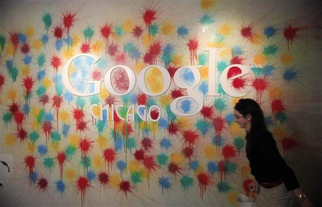
20 A woman walks past the Google Chicago headquarters logo in Chicago. REUTERS photo
Google on Sunday launched Street View in Israel, the US Internet giant said, putting on show streets and sites of interest from the Holy Land's three major cities with its 360-degree street-level images.
The imagery of "Jerusalem, Tel Aviv-Jaffa and Haifa includes sites of interest such as the Muslim, Christian, Jewish and Armenian quarters of Jerusalem's Old City, the Via Dolorosa, Church of the Holy Sepulchre, Western Wall, Mount of Olives, old port of Jaffa, the Baha'i Gardens," a Google statement said.
Street View, which was launched in 2006, lets computer users view panoramic street scenes on Google Maps and take a virtual "walk" through cities such as New York, Paris or Hong Kong.
Panoramic images are taken by cars equipped with special cameras which photograph an area while driving through the streets; the images are then processed in the US, where details such as faces and registration plates are automatically blurred before being published on Google Maps.
In August, Israel's justice ministry gave Google the green light to start photographing the streets, but asked that Street View provide the public with a reliable way to request that further details be blurred after the images are published online.
Google said on Sunday that users would be able to ask for "additional blurring of themselves, their home or their car." To the images available now at www.google.co.il/streetview Google will later add pictures of other cities and sites, including the Dead Sea, Nazareth, Tiberias, Acre and Eilat.
